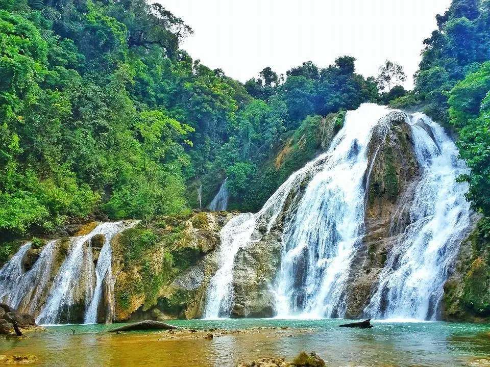

Agusan del Sur, officially the Province of Agusan del Sur, is a province in Caraga region in Mindanao, Philippines. It is a landlocked province which elongated basin formation and criss--‐crossed by the Agusan River from South to North. In its midst is the iconic Agusan Marsh, a freshwater wetland ecosystem and the depository of water drained from its adjacent watersheds. Its capital is the municipality of Prosperidad. It is bordered on the northwest by Agusan del Norte and Misamis Oriental; east by Surigao del Sur; southeast by Davao Oriental; mid-south by Davao de Oro; southwest by Davao del Norte and, mid-west by Bukidnon. It is the fourth largest province in the country in terms of area, with the size of 3,856 sq miles.
Agusan derives its name from the Agusan word agasan, meaning "where the water flows", referring to the Agusan River that splits the land and meanders south to north in a 250-kilometre (160 mi) rush to Butuan Bay. It is third largest river in the country and served as highway for the Spanish colonizers in gaining access to inner northeastern Mindanao.
The history of Agusan del Sur is essentially linked with that of its sister province, Agusan del Norte.
Agusans pre-Hispanic cultural history is traced back to the great influence of the Majapahit Empire through the discovery of an 8-inch (200 mm) tall image of a woman in pure gold at Maasam, Esperanza in 1917 and molten jars unearthed at Bah-bah, Prosperidad. The aborigines of Agusan del Sur are the ancestors of the present day Mamanwas, who were driven to the hinterlands by waves of Malay immigrants. These immigrants, in turn, sought the protection of the interior jungles because of the forays and the constant raids of "moro" pirates. The "moros" being seafaring people confined themselves to the coastal areas, where they started their settlements.