Eastern Samar, officially the Province of Eastern Samar, is a province in the Philippines located in the Eastern Visayas region. Its capital is the city of Borongan. Eastern Samar occupies the eastern portion of the island of Samar. Bordering the province to the north is the province of Northern Samar and to the west is Samar province. To the east lies the Philippine Sea, part of the vast Pacific Ocean, while to the south lies Leyte Gulf.
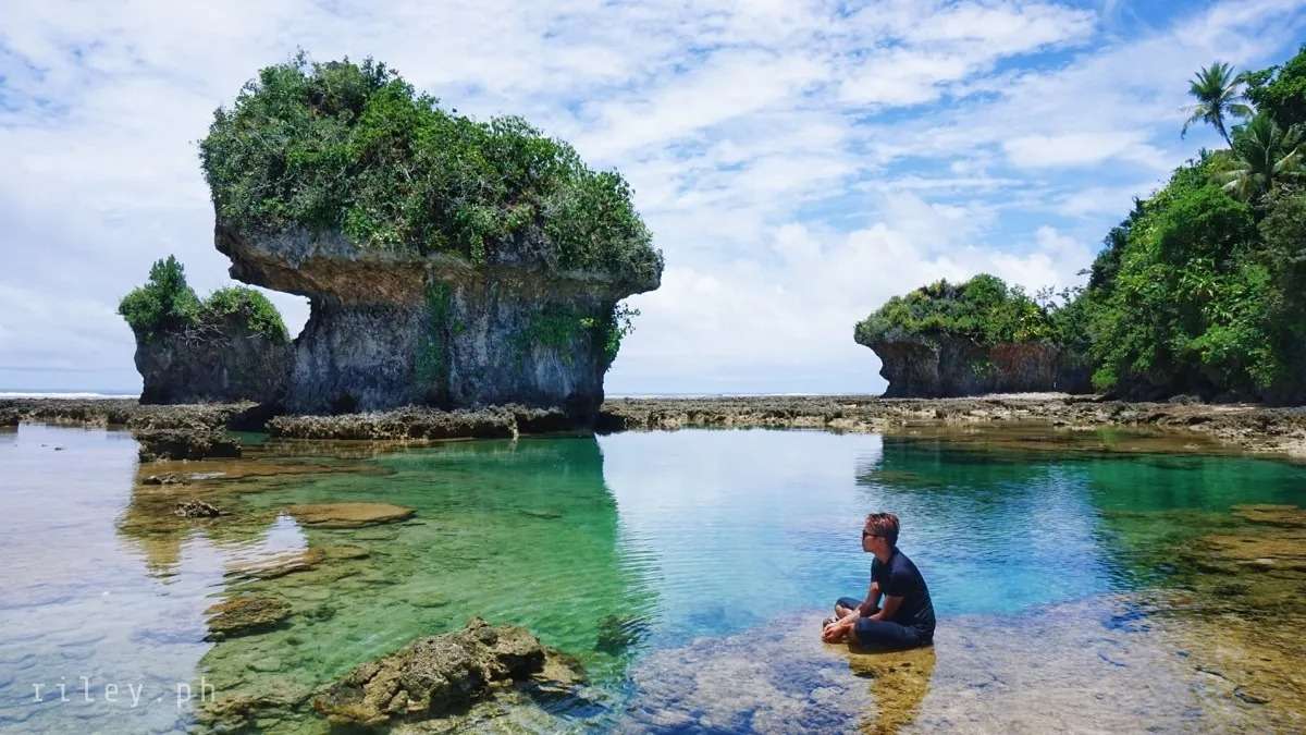
Commercial activities in the province are centered on the provincial capital of Borongan while tourism activities are centered in Guiuan town where Calicoan Island and the historical Homonhon Island are located. Generally, the province's major economic resource is fishery and agriculture which include production of coconut, copra, corn, rice, sugar, and vegetables. Tourism potential is untapped on the northern part of the province.
Eastern Samar covers a total area of 4,660.47 square kilometers (1,799.42 sq mi) occupying the eastern section and majority of southern Samar's coast of Samar Island in the Eastern Visayas region. The province is bordered to the north by Northern Samar and to the west by Samar. To the east lies the Philippine Sea, part of the vast Pacific Ocean, while to the south lies Leyte Gulf.
Because it faces the Philippine Sea of the Pacific Ocean, Eastern Samar suffers heavily from powerful typhoons.
Typhoon Haiyan (Yolanda), one of the strongest typhoons ever recorded, made its first landfall in the coastal town of Guiuan in November 2013.
During his circumnavigation of the globe, Ferdinand Magellan had set foot on the tiny island of Homonhon in the southern part of the province. On March 16, 1521, the area of what is now Eastern Samar is said to be the first Philippine landmass spotted by Magellan and his crew.
It was in Eastern Samar where Ferdinand Magellan landed in Homonhon Island in the town of Guiuan on March 16, 1521, in what is now officially recognized as the discovery of the Philippines by the Western World. Magellan called the place Zamal. Sustained contact with Western civilization occurred as early as 1596. Jesuit missionaries worked their way from the western coast of the island of Samar and established mission centers in what is now Eastern Samar territory.
On September 28, 1901, Filipino rebels in the town of Balangiga attacked and almost wiped out American troops billeted in the municipal building and church convent. Now known in history books as the “Balangiga Massacre Day,” the incident triggered a ruthless pacification campaign by US forces aimed at turning the entire island of Samar into a “howling wilderness.” It was during this campaign that American soldiers took the Balangiga Bells from the Balangiga church as war trophies. The bells remain on display at Warren Air Force Base in Cheyenne, Wyoming. On October 17, 1944, US Army rangers landed on the island of Suluan in Guiuan where they fought their first battle on Philippine territory three days before Gen. Douglas MacArthur stormed the beaches of Leyte.
Eastern Samar became an independent province by virtue of Republic Act No. 4221 which Congress approved on June 19, 1965 dividing the then existing old province of Samar into three separate provinces, namely; Northern Samar, Western Samar (subsequently renamed Samar) and Eastern Samar. A plebiscite held simultaneously with the November 1965 general elections upheld the conversion of Eastern Samar into a separate province. In 1967 the newly created province elected its first set of officials and on January 2, 1968, the provincial board had its inaugural session in the Borongan Town Hall which served as the temporary provincial capitol. Eight months later, the formal inauguration of the new province of Eastern Samar took place. Before its existence as an independent province, places which now form part of Eastern Samar played important roles in the history of our country.