Dinagat Islands, officially the Province of Dinagat Islands, is an island province in the Caraga region of the Philippines, located on the south side of Leyte Gulf. The island of Leyte is to its west, across Surigao Strait, and Mindanao is to its south. Its main island, Dinagat, is about 60 kilometres (37 mi) from north to south.
The name of the island means "of the sea" or "like the sea", an affixed from of the root word dagat ("sea") in the Visayan languages.
The province is one of the smallest island provinces in the country with a total land area of 1,036.34 square kilometres (400.13 sq mi). Located to the northeast of Surigao del Norte, the Dinagat Islands are separated physically from Awasan and Nonoc Islands of Surigao del Norte by the narrow, 15 kilometres (9.3 mi) long, Gaboc Channel. It takes about 45 minutes to cross Surigao City Port to San Jose Port by pump boat.
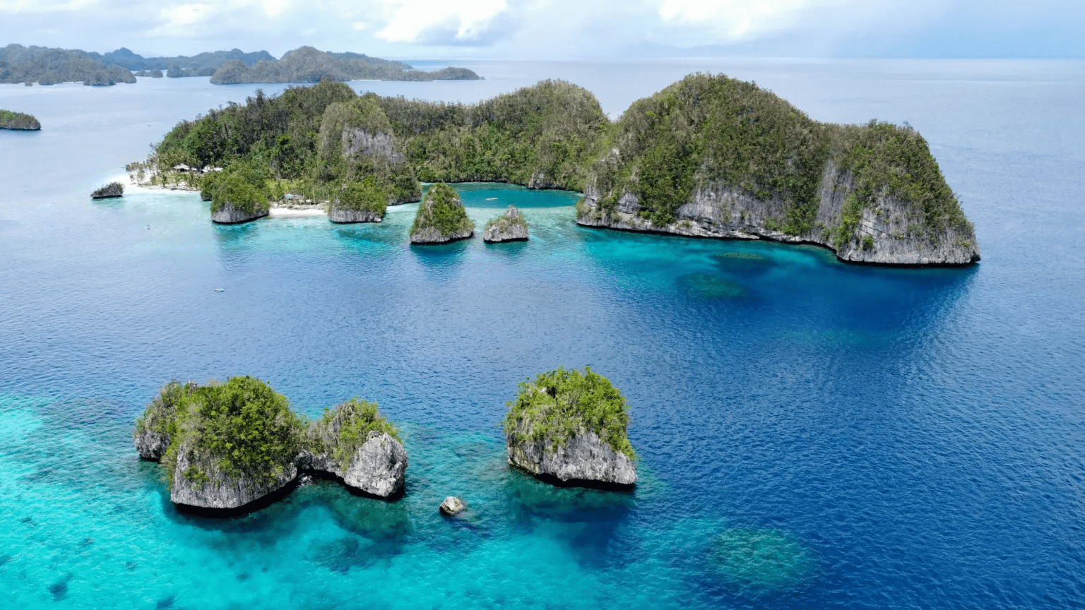
Dinagat Islands is a young island-province at the northern tip of Mindanao. Many describe Dinagat Islands as a hidden gem of the Caraga Region XIII. The Islands are enriched with great bio-diversity, abundant natural wonders and rich resources. Dinagat Islands has a multitude of fascinating white sandy beaches with arrays of colossal rock formations. These sites and attractions are as diverse as the topography of the islands and islets.
The province is known for its caves, resorts, and beaches. These include Bitaug Beach, Campintac Black Beach No. 2, Linao Spring Resort, and San Juan Cave (all in Loreto), Lake Bababu, Puerto Prinsesa Beach & Hagakhak Cave in Basilisa, Tagberayan Beach, Sayaw Beach, Legaspi Water Falls, Hinabyan and Leandro's Beach Resort in Cagdianao, Talisay Beach in Tubajon, Quano Blue Lagoon and Quano Cave, Ben Paz Mountain Resort and Oasis Islet Resort in Libjo, and the Cab-ilan Beach & Cab-ilan Gamay Beach in Dinagat.
The province in pre-colonial times was much influenced by the Rajahnate of Butuan which was nestled in present-day Agusan del Norte. It was also used as the entry point of the Rajahnate of Ternate, present-day Moluccas of Indonesia, to attack the Rajahnate of Butuan, Rajahnate of Cebu, the indigenous settlements in the Anda Peninsula of Bohol, and the Kingdom of Dapitan (located 'between' Panglao and Bohol), which later moved in northern Zamboanga after the Kingdom of Dapitan was destroyed.
Although one of the newest provinces of the country, settlements in the Dinagat Islands were already present during the Spanish regime as a result of migration of people from nearby provinces of Bohol and Leyte. In particular during World War II, the allegedly magical province had a significant impact on the history of the nation.
The municipality was formally established in 1855. It occupies the territorial boundaries of the whole island. From 1890 to 1990 its boundaries were gradually reduced giving rise to six municipalities, Loreto, Cagdianao, Libjo, Basilisa, Tubajon and San Jose.
Loreto became a Spanish pueblo on September 4, 1890, under the supervision of Governor General Manuel Sanchez by the virtue of Direccion General No. 30. It was originally called Mabua due to the ever-foaming river that runs right into the center of the community. It was named Loreto in 1881 by the Spanish priest who frequents the town, in honor of the wife of the Alcalde Mayor of the Province of Surigao.
The province was the site of the historic Battle of Surigao Strait during the Second World War. The Municipality of Loreto became the entry point of the American Liberation Forces on October 17, 1944. It was on this shore that the 6th Ranger Battalion of the 6th U.S. Army under Col. Mucci landed at Sitio Campintac of Barangay Panamaon in Loreto. It was during this landing that the first American flag flew on Philippine soil since the Japanese invasion in 1941. The Americans named the place "Black Beach No. 2."
The northern part of the island served as a refuge for the American soldiers, while the western border was held by Japanese forces. Capsized vessel structures are still found today in the waters of Basilisa.
On December 23, 1959, Cagdianao was created into a municipality under Executive Order No. 367. Its name came from the Spanish word Cada dia linao meaning "everyday peaceful and calm". However, some scholars say that its name came from the Visayan word Taga Danaw meaning "the lake people".
Libjo was created into a municipality and named Albor on February 29, 1960, under Executive Order No. 381. It was taken from the municipalities of Dinagat and Loreto. Albor came from the surname of the mayors of Loreto and Dinagat — Alfaro and Borja. It was renamed as Libjo on June 17, 1967. The name came from the word Liboo, a kind of mussel clam.
In 1965, Ruben Edera Ecleo Sr. founded the Philippine Benevolent Missionaries Association (PBMA) at Sitio Puyange, now Poblacion in San Jose. PBMA is a non-sectarian organization bounded by a strong spirit of brotherhood. Not long after that, members from all over the Philippines migrated to the island to be in constant association with their founder.
Meanwhile, Basilisa became a municipality on June 17, 1967, under Republic Act No. 4986. It was then named as Rizal, after the country's national hero. The municipality was renamed as Basilisa on June 21, 1969, under Republic Act. No. 5775.
Tubajon, which was once a barangay of Loreto, became a municipality on June 21, 1969, under Republic Act No. 5643.
The newest municipality is San Jose, created on November 15, 1989, under Republic Act No. 6769. The town was named in honor of Jose Ecleo who was its pioneer and father of then mayor of the municipality of Dinagat, Ruben Edera Ecleo Sr. The town is the seat of the PBMA.